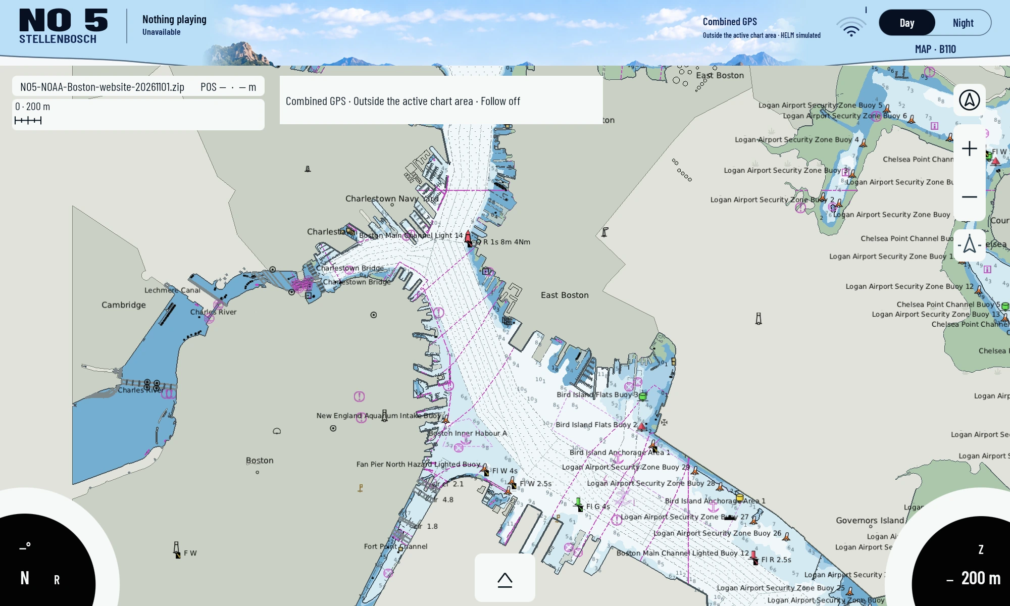
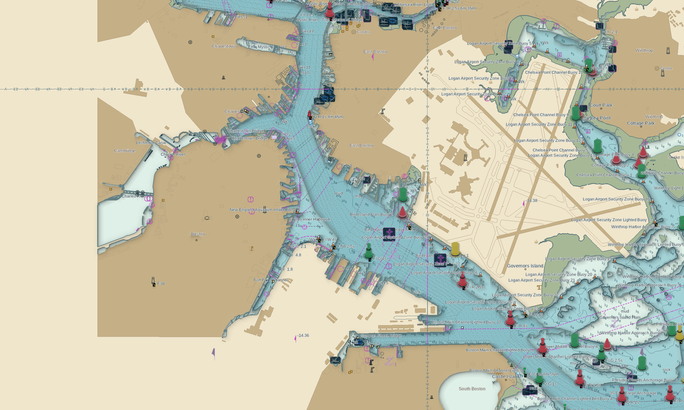
01 / STARTING POINT
What we wanted to solve.
Must a chart source be limited to our own app? We investigated whether legally usable vector data can also be prepared for existing plotters and their chart paths.
WHAT THIS COMPONENT MAKES POSSIBLE
The practical difference.
Our chart work can also become useful for existing equipment. Each target plotter needs its specific format or an interface it actually supports.
RX5/Lighthouse and Navionics are explored as separate conversion paths. Existing writers and examples solve parts of the problem. Complete portrayal, target-device testing and rights to each input dataset remain separate tasks.
Read the decision in the story02 / DEVELOPMENT
Our path to getting there.
Our intermediate representation keeps geometry, attributes and provenance together. Supported target structures are generated from it and independently read back.
For Lighthouse/RX5 we developed conversion, regional export and inspection tools. For Navionics we investigated self-authored small containers, geometries and later broader adapters.
Each step distinguishes file generation, reader acceptance, actual portrayal and use on a plotter. Those are different kinds of evidence and are not interchangeable.
03 / RESULTS
What exists today.
- The conversion work has its own source tools, a documented intermediate representation and checks for supported target structures.
- Genuine reader admission and geometry readback are documented for specific self-authored Navionics test containers.
- This is a technical foundation for further adapters, not a finished universal-format product.
Images show the development revisions identified in their captions. Today’s source may be newer than an existing image.